Vueron LookOut™ · Spatial Intelligence

3D LiDAR perception for safer,
more efficient infrastructure

3D LiDAR perception
for safer, more efficient infrastructure

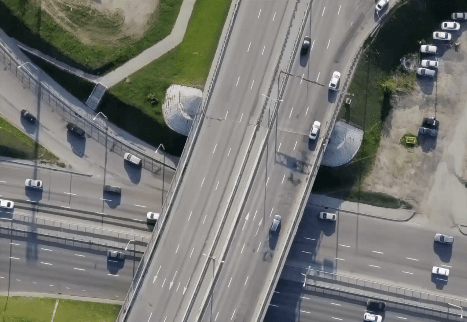
3D LiDAR turns roads, airports, ports, and industrial sites into real-time data, tracking traffic, crowds, and intrusions without capturing faces.
Reliable in any condition, it integrates with existing systems to boost safety and efficiency.

3D LiDAR turns roads, airports, ports, and industrial sites into real-time data, tracking traffic, crowds, and intrusions without capturing faces. Reliable in any condition, it integrates with existing systems to boost safety and efficiency.

Privacy-First · No Faces

Privacy-First · No Faces

Privacy-First · No Faces

24/7 All-Weather

24/7 All-Weather

24/7 All-Weather

Distance · Speed · Trajectory

Distance · Speed · Trajectory

Distance · Speed · Trajectory

Integrates with Existing Systems

Integrates with Existing Systems

Integrates with Existing Systems

Lookout™ Function

LookOut™ Core Capabilities

Four core pillars that connect LiDAR data from measurement and analysis to integration.

Object Recognition

Detects people, vehicles, and two-wheelers in real time, extracting precise data on distance, height, speed, direction, and trajectory. Reliable in low light and harsh weather.

Monitoring & Spatial Analytics

Delivers multi-object tracking, zone-based intrusion detection, congestion analysis, queue monitoring, and ITS traffic flow analytics.

Integration Platform

Deployable across roads, airports, ports, defense, and more, with support for sensor fusion and custom analytics models.

SDK & Interoperability

An open SDK enables API integration with control systems and public infrastructure platforms, plus real-time event streaming and custom modules.

How can LookOut™ work for your site?

How can LookOut™
work for your site?

Validate performance in your real environment with a PoC before you deploy.

Validate performance in your real environment
with a PoC before you deploy.

Application

Application

LookOut™ in Action

LookOut™ in Action

Explore LookOut™ solutions deployed across diverse industries.

Explore LookOut™ solutions
deployed across diverse industries.

01

Traffic Analytics

Object Counting

Multi-Object Tracking

Multi-LiDAR Fusion

As-Is

Fixed-time signals, costly loop detectors,
and no lane-level data.

To-Be

  • Data-driven signal optimization and demand response

  • Lower installation and upkeep costs (no pavement cutting)

  • Accurate detection at night and in harsh weather

Non-intrusive LiDAR traffic measurement: volume, turns, queues, delay, and speed.

02

Crowd & Queue Analytics

Object Counting

Multi-Object Tracking

Heatmap Analytics

As-Is

No real-time crowd detection.
Cameras face privacy and occlusion limits.

To-Be

  • Early alerts for crush and bottleneck risks

  • Privacy-safe 3D sensing with no facial data

  • Accurate counts in low light and dense crowds

Real-time crowd density and wait times,
with instant overcrowding alerts.

03

Collision & Pedestrian Safety

Moving Object Detection

Multi-Object Tracking

Hazard Zone Alerts

As-Is

Blind-spot accidents persist
at right turns, crosswalks, and airside.
Onboard sensors only see their own path.

To-Be

  • Prevent blind-spot conflicts

  • 24/7 infrastructure monitoring, not driver attention

  • Same performance at night

3D detection of pedestrians
and vehicles in blind spots,
with TTC-based early collision warnings.

04

Intrusion & Zone Monitoring

Hazard Zone Alerts

Multi-Object Tracking

Multi-LiDAR Fusion

As-Is

No real-time control of hazard zones
and perimeters. Legacy PIDS triggers
false alarms at night and in bad weather.

To-Be

  • Prevent accidents and intrusions before they happen

  • 24/7 all-weather performance

  • Privacy-safe 3D sensing

Instant 3D virtual zone intrusion alerts
with object tracking. No video captured.

05

Parking & Space Analytics

Object Counting

Zone Occupancy Alerts

As-Is

Per-space sensors are costly
to install and only detect occupancy,
not utilization or turnover.

To-Be

  • Data-backed expansion planning

  • Lower costs than per-space sensors

  • Clear visibility into usage and operations

Continuous measurement of space occupancy, turnover, hourly utilization, and aisle congestion.

06

Yard & Site Logistics Control

Multi-Object Tracking

Hazard Zone Alerts

Multi-LiDAR Fusion

As-Is

Human spotters miss blind spots
and struggle at night and in fog.
Coverage is limited by headcount.

To-Be

  • Fewer spotters and signalers needed

  • Safety foundation for autonomous operations

  • Reliable at night and in dust and fog

24/7 3D route monitoring
with real-time clearance checks
and equipment and worker tracking.

End-to-End Expert Support

End-to-End Expert Support

Dedicated experts guide you from site assessment to deployment and integration.

Dedicated experts guide you from site assessment to deployment and integration.

Looking for use cases that fit your site?